Mississippi highway maps, necessary if GPS fails or your battery dies, now available
Published 12:43 pm Monday, January 21, 2019
Have you ever been late for an appointment and traveling an unfamiliar road when the worst happens: your cell phone and consequently, your map, loses power. You were in such a rush heading out of the house; you forgot to grab your cell phone charger. What do you do?
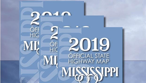
The Mississippi Department of Transportation (MDOT) has a solution: the 2019 Official Mississippi State Highway Map. Paper maps may seem outdated. When technology fails, and you find yourself looking for the quickest route to your destination, this map is a valuable travel resource.
The 2019 Official Mississippi State Highway Map is more than just a regular map. The map not only shows our roadways, but also gives information about some of the top things you can do around our state, such as Mississippi’s musical legacy and outdoor recreation.
What’s the difference between the 2019 Official Mississippi State Highway Map and last year’s map? The new map features newly constructed roadways, including Interstate 269 in DeSoto and Marshall counties, and updated travel destinations and attractions.
The 2019 Mississippi Official State Highway Map is available now, and MDOT offers the map to the public free of charge. MDOT also offers other specialty maps to the public such as city and county maps.
For more information about the maps MDOT offers, or to request your free copy of the 2019 Official Mississippi State Highway Map, visit GoMDOT.com/maps.
More News


