More heavy rains in forecast for flood-ravaged areas of South
Published 3:46 pm Tuesday, February 18, 2020
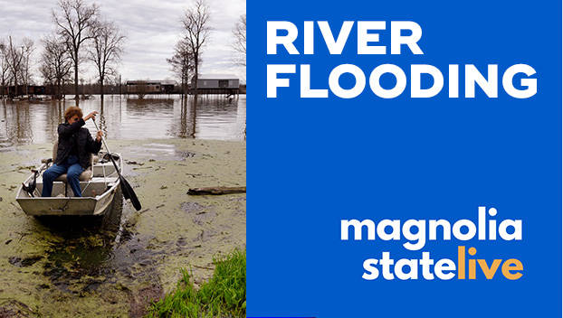
Forecasters expected more heavy rains in parts of the flood-ravaged South on Tuesday, prolonging the misery for worried people who still can’t get back into homes surrounded by water.
Some of the hardest-hit areas were under a flash flood watch, as the National Weather Service said as much as 2 inches (5 centimeters) of rain, and even more in some spots — was expected to fall in central Mississippi.
The national Weather Prediction Center in College Park, Maryland, projected the greatest likelihood of heavy rains in a band from eastern Louisiana across central parts of Mississippi and Alabama extending into far west Georgia.
Authorities around Mississippi’s capital city of Jackson warned hundreds of residents not to return home until they get an all-clear following devastating flooding Monday.
The receding flood left muddy water marks on the sides of cars at the Harbor Pines Mobile Home Community in suburban Ridgeland, not far from where managers of the Ross Barnett Reservoir have been trying to contain the swollen Pearl River. Water still surrounded dozens of trailer homes Tuesday, but the water level had fallen 2 feet (0.6 meters) or more since Monday.
Anxious to get back into the home she evacuated on Thursday, Gloria Vera couldn’t reach her trailer because it was still surrounded by as much as 5 feet (1.5 meters) of water. She didn’t yet know if water got inside.
“I took nothing from the house when I left, only the clothes I am wearing,” Vera said in Spanish.
Dorothy Freeman felt fortunate because her mobile home was above water and she was able to get back in long enough to feed her cat and pick up personal items including her Bible.
“I’m praying for the people in the Jackson area that were hit even harder than us,” said Freeman, 87, who has lived in the community 21 years.
Crews were going lot to lot to check the duct work beneath mobile homes to determine how many had been inundated by water. The power remained off as a precaution and it wasn’t clear when residents could return.
Meanwhile, on the Gulf Coast, water draining toward the ocean cut off a neighborhood on the Tensaw River in Baldwin County, Alabama, where residents had to use boats to get to homes, news outlets reported. The Mobile River is forecast to crest more than 4 feet (1.2 meters) above flood level this weekend north of Mobile.
Alabama Gov. Kay Ivey issued a state of emergency that directed state agencies to assist with recent flooding and allowed local school systems where flooding occurred to ask for relief in fulfilling school calendar requirements.
A near-record rainy winter led to agonizing choices for reservoir managers, who have had to release water that worsens flooding for some people living downstream while saving many other properties from damage.
The intensity and frequency of extreme rain events that fuel major flooding have increased in the Southeast, according to the most recent National Climate Assessment, released by the White House in 2018. Southern states are particularly vulnerable to increasingly heavy rains, according to the report, which cites four floods that each did more than $1 billion in damage between 2014 and 2016.
In the Savannah, Tennessee, area, two houses slid down a muddy bluff just below the Pickwick Dam on Saturday as the Tennessee Valley Authority released more than 2.5 million gallons (9.5 million liters) per second, adding to the anguish for owners of about 75 flooded properties downstream.
Hardin County Fire Chief and Emergency Management Director Melvin Martin said the landslide claimed not only two houses, whose residents got out safely, but also about 100 yards (91 meters) of the blufftop road. Meanwhile, most of the homes down by the river are vacation homes that were built on stilts, Martin said.
Boat captain Sam Evans, who lives in a historic riverboat on Pickwick Lake, says this year’s flooding was among the worst he’s seen. Navigating the Tennessee River by boat, he’s watched the banks gradually erode, and said it was only a matter of time before the bluff gave way.
“It has slowly been eroding and it finally let go,” Evans told The Associated Press on Tuesday.
The area suffered a devastating flood in 2003, but then about 14 years passed without a catastrophe, and developers got busy selling riverfront properties, Evans said. He thinks the buyers weren’t fully aware of the danger.
“Out-of-towners came in that didn’t do their homework,” he said. “Here comes a flood and it wipes them out … Buyer-beware when you buy below the dam. ”
Darrell Guinn, a manager at the TVA River Forecast Center, said Tuesday that the river system is now at level where it can absorb more rain without further impacting flooded areas.