Mississippi Skies: Ice accumulations threaten parts of the state while others watch flooding rivers
Published 1:30 am Monday, January 30, 2023
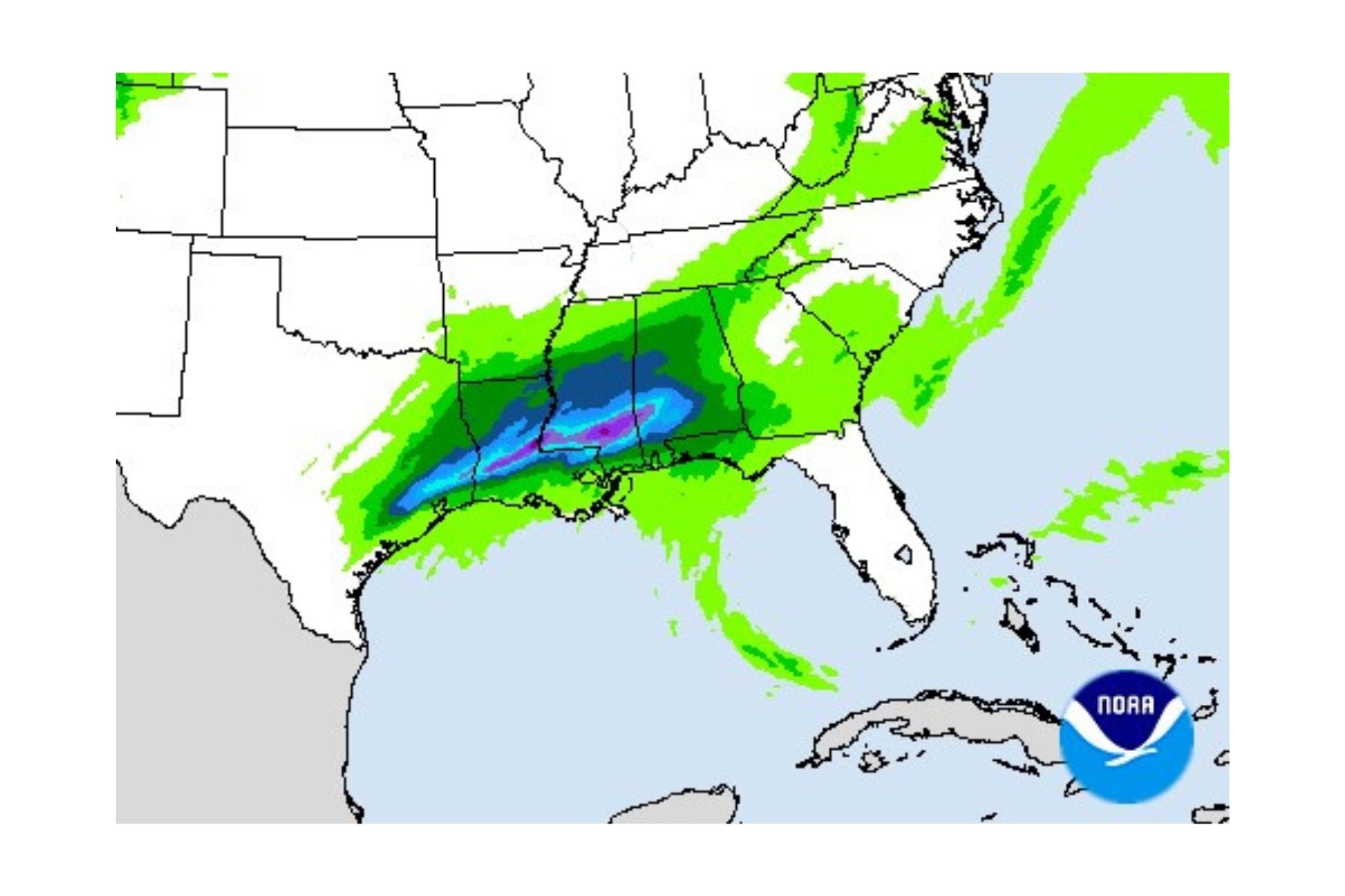
- Precipitation forecast
Just as we mentioned as a possibility yesterday, the ice accumulation threat has moved across the state line into northern Mississippi. The National Weather Service in Memphis has issued a statement that includes the potential of up to half-an-inch of ice from Clarksdale to Batesville and Oxford to Corinth. The threat will come in two waves and ends Wednesday morning.
Other people throughout the state are also being cautioned to watch the potential for flooding rivers. The National Weather Service has issued a flood warning for the Pearl River for just about its entire length across Mississippi, the Big Black River, the Leaf River, Chickasawhay River, Biloxi River, the Wolf River, and the Hobolochitto Creek.
On the opposite end of the state, drivers will deal with dense fog advisories early today.
North Mississippi
Cloudy with a few isolated showers early. Breezy with a high of 47. Tonight, rain is likely in the evening, then either rain or freezing rain as temperatures drop to around 30 degrees.
Central Mississippi
Fog early, then cloudy with a high of 56. Rain moving in tonight with a low of 38.
South Mississippi
A few showers or thunderstorms early with patchy fog. Becoming cloudy with a high near 67. Cloudy tonight with a slight chance of rain and a low of 52.
Gulf Coast
Fog throughout the day with a chance of showers and thunderstorms early and then again later in the afternoon. High near 74. Tonight, widespread dense fog with a low near 61.


