Mississippi Skies: Stormy weather continues for parts of the Magnolia State
Published 12:38 am Tuesday, November 21, 2023
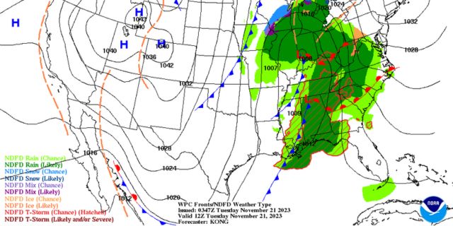
After months of very little rain and no severe weather, our first round certainly performed up to expectations.
Meteorologists tracked several tornado warnings across central and southern Mississippi Monday afternoon and night with several of the tornadoes confirmed by radar.
National Weather Service offices will confirm strength and tracks the next few days. Thousands of people were without power and trees were down in multiple Mississippi communities.
Tuesday will have some more storms, especially along the Gulf Coast. Most of us will have our high temperatures in the morning with a fast drop throughout the day. Grab a jacket to put up later in the day!
We’ll be cooler the rest of the week.
North Mississippi
Mostly cloudy with a slight chance of a shower. High near 60. Mostly cloudy overnight with a low of 42.
Central Mississippi
Cloudy with a few showers. High of 61 and wind gusts up to 20 miles per hour. Mostly cloudy Tuesday night with a low of 41.
South Mississippi
Mostly cloudy with a slight chance of a shower or storm early. Temps falling to the upper-50s with wind gusts up to 20 miles per hour. Tuesday night, mostly cloudy with a low of 45.
Gulf Coast
Mostly cloudy with a few showers and thunderstorms possible. Temps reach a high of 72 in the late morning, then drop into the lower 60s in the afternoon. Overnight, cloudy with a slight chance of a shower. Low of 48.


