Mississippi Skies: Severe weather risk Tuesday with more severe storms Wednesday
Published 11:17 pm Monday, April 8, 2024
Our week of severe weather chances continues into Tuesday, especially along the Mississippi River.
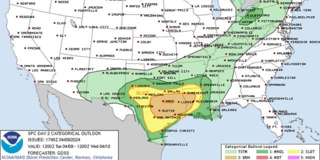
“Severe storms are possible, especially in the west Tuesday afternoon and evening. Damaging wind gusts, hail quarter to golf ball size and tornadoes will be possible,” the National Weather Service posted.
“Severe storms are likely on Wednesday. All modes of severe weather are likely including tornadoes, damaging wind gusts and hail up to golf ball size. Please be sure to check back for updates concerning this storm system,” the NWS continued for midweek.
North Mississippi
Showers are likely with a storm or two possible, then there is a chance of showers and storms in the evening. High of 67. Tuesday night, showers are likely with a storm or two possible. Low of 60.
Central Mississippi
Showers are likely with a storm possible in the evening. Some of the storms could be strong to severe, especially in western areas. High of 71. Cloudy overnight with a few showers or storms possible. Low of 62.
South Mississippi
Cloudy with a slight chance of a shower or thunderstorm. High of 76. Tuesday night, a few showers and a thunderstorm possible. Low of 63.
Gulf Coast
Mostly cloudy with a high of 78. Mostly cloudy overnight with a low of 68.


