Mississippi Skies: Severe weather possible with heavy rain; freezing temps coming soon
Published 8:56 pm Thursday, March 14, 2024
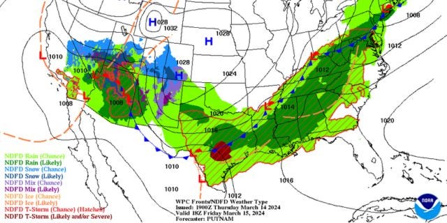
Some of us will begin Friday with a severe weather risk.
Parts of northwestern Mississippi are under a Level 2 risk that includes the Mississippi suburbs of Memphis, Oxford, Batesville, Cleveland, Clarksdale, Grenada, Greenville, Corinth, and Greenwood. Tupelo is right on the line of the Level 2 and Level 1 risk.
This region can expect isolated to scattered severe storms through Friday morning. The main risks are severe storms, damaging winds up to 70 miles per hour, large hail, and a tornado or two.
The rest of Mississippi – except for the three counties along the Gulf Coast – is under a Level 1 risk, beginning as early as 5 a.m. in northern Mississippi, 8 a.m. in central Mississippi, and 11 a.m. in southern Mississippi.
The main risks in the Level 1 are isolated severe storms, large hail, and damaging winds. The severe threat should end by 5 p.m. for the southern counties, but rain is expected to occur off and on all weekend. We’ll have more details in the Mississippi Skies report for Friday.
Some of us will have more rain chances through the weekend, and we’re all going to get much cooler.
Northern Mississippi will have some sunshine Saturday, clouds Sunday, and freezing temperatures Monday night.
Central Mississippi will be partly sunny Saturday, cloudy Sunday, and freezing Monday night.
South Mississippi will have a mix of sun and clouds Saturday, rain Sunday, and mid-30s Monday night.
The Gulf Coast will get plenty of rain both days of the weekend with temperatures dipping into the mid-30s Monday night.
North Mississippi
Showers and thunderstorms. High of 68. A slight chance of rain in the evening, then mostly cloudy overnight. Low of 46.
Central Mississippi
Showers and storms likely. High of 74. More showers likely with storms possible Friday night. Low of 54.
South Mississippi
Showers and storms are likely in the morning, then showers continue with a storm possible in the afternoon. Storms become likely with showers again in the evening. High of 77. Showers likely Friday night. Low of 60.
Gulf Coast
Showers and storms likely, especially in the afternoon. Showers continue into the evening with a storm possible. Fog is possible early. High of 79. A few more showers and storms overnight. Low of 63.